

Date of Report
May 31, 2022
Water Levels*
Little River: 382cfs / 2.46’
Pigeon: 652cfs / 2.33’
Oconaluftee: 772cfs / 2.29’
Cataloochee: 199cfs / 2.99’
Water Temperatures**
Low Elevations: 59 – 63 degrees
Mid Elevations: 56 – 60 degrees
High Elevations: 52 – 56 degrees
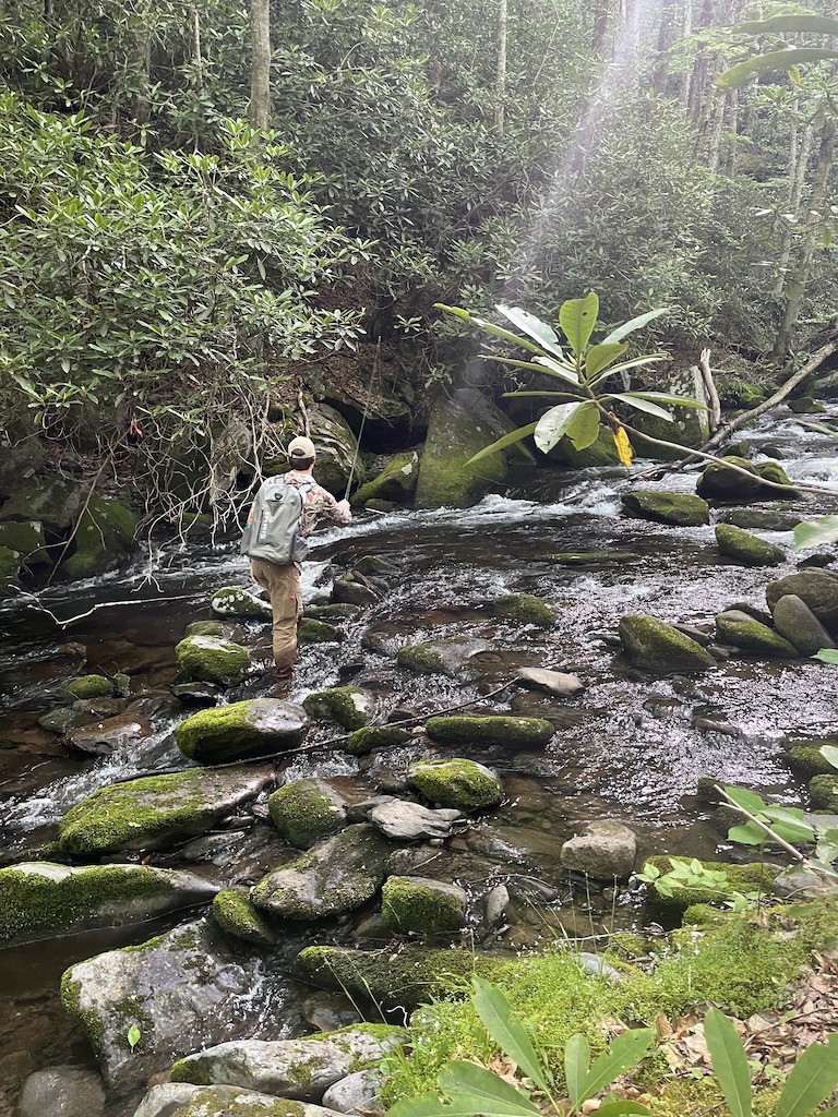
Current Conditions
Water temperatures are great at all elevations. Stream levels blew out last week with two major rain systems hitting within days of each other. Water levels are still a little high from those events, particularly in larger, low elevation streams, but they are very fishable and still falling.
Projected Conditions
We have a fairly warm week ahead so expect water temperatures to climb a little. Rain and thunderstorms are in the forecast for Thursday. All and all, we should see some good fishing in the coming days. Just keep an eye on gauges with that Thursday rain… it won’t take much to blow out these already full streams.
Tips
A dry-dropper rig can be a terrific way to fish summer pocket water. This is also the time of year to begin experimenting with terrestrials.
Suggested Flies
There are not a lot of heavy hatches right now but nearly everything hatching is yellow in color.
Nymphs:
BH Pheasant Tail #16 – 14
Soft Hackle Pheasant Tail #16 – 12
Edwards Stone #16
Tellico Nymph #16 – 10
Deep Six Caddis #16 – 12
Hare’s Ear #16 – 12
Dry Flies:
Yellow Stimulator #16 – 12
Smoky Mountain Candy #16 – 12
Neversink Caddis #16 – 14
Rob’s Hellbender #14
Parachute Adams #16 – 12
Terrestrials:
Black Beetle #14 -12
Black Ant #16 – 14
Green Weenie #14 – 12
*There are not gauges on most streams, so these readings can only be used as general estimates for certain areas of the park. In general, the Little River reading gives an idea of water levels near the Townsend side of the park, the Pigeon represents streams near the Gatlinburg side, the Oconaluftee represents streams closer to the Cherokee side and Cataloochee represents the eastern side.
**There are approximately 800 miles of “fishable” streams inside the park and it is impossible to provide exact water temperatures for each of them in a general report. And water temperatures will vary considerably based on elevation. For example, there may be a 12-degree water temperature difference between the headwaters of Little River and where the gauge is located in Townsend. When I report water temperatures, they are general estimates and I consider low elevation to be sections of streams below 2000’, mid elevation between 2000’ and 3000’ and high elevation above 3000’.