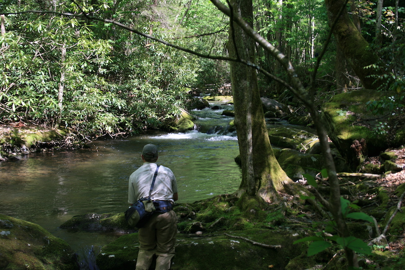
Location: GSMNP East Tennessee
Nearest Town: Townsend, TN
Species: Rainbow trout (maybe a very rare brown or brook trout)
Average Size: 6-8”
Stream Size: Moderate
Pressure: Light
Type of Water: Freestone, Mountain
Boat Access: None
Best Times: Spring through late fall
Favorite Flies: Attractor dries
Nearest Fly Shop: Little River Outfitter – Townsend
Directions:
From Townsend, travel southeast on 73 to GSMNP entrance. At the “Y” in the road, turn right on Laurel Creek Road (toward Cades Cove). Take your first left (toward Tremont Institute). This road will follow the Middle Prong of Little River for approximately five miles. The first two miles (to Tremont) are paved and the three miles above Tremont are gravel. The road comes to an end at a large parking area, located where Lynn Camp Prong and Thunderhead Prong converge to form the Middle Prong of Little River. From the parking area, cross the bridge and take the trail on the right. It is unmarked and does not appear on maps, but remains fairly clear due to frequent foot traffic.
The trail follows Thunderhead for probably a mile or better, just beyond where Sam’s Creek enters the stream, before coming to an abrupt halt. From this point you will have to make your way through the stream and by bank when available. Of course you will have to return the same way. All and all, there is probably a little more than four miles of Thunderhead to be fished.